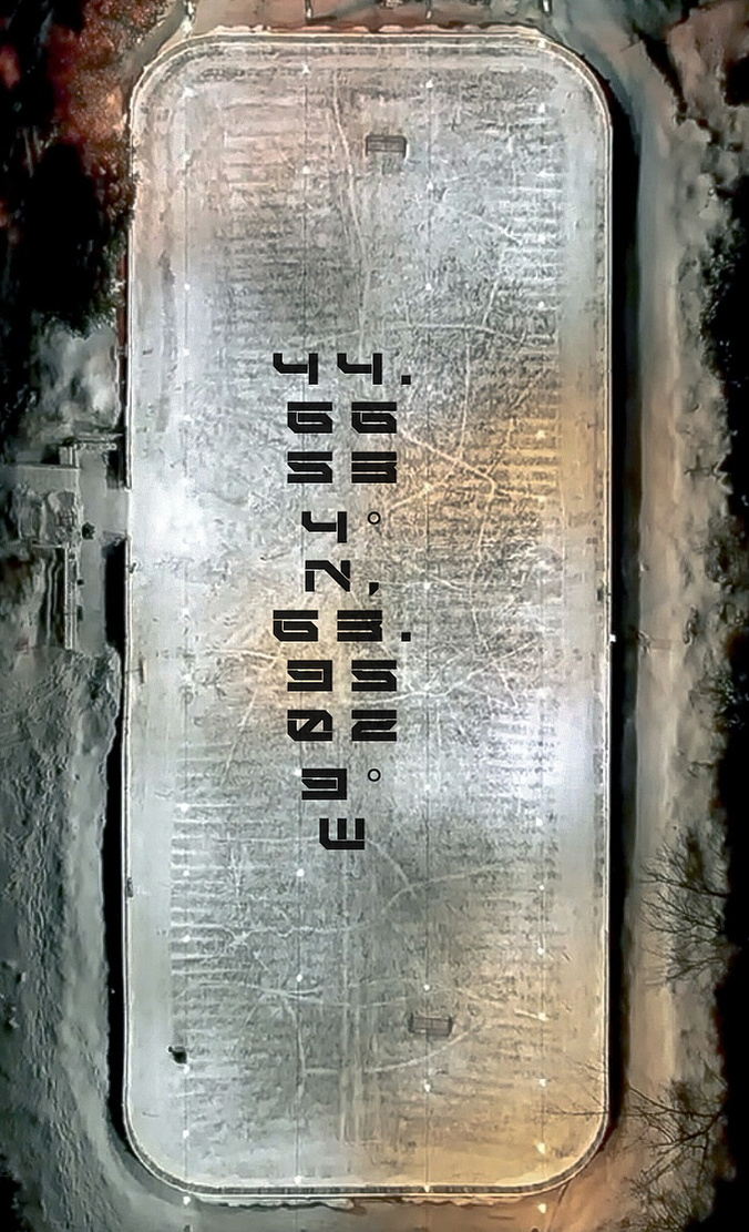
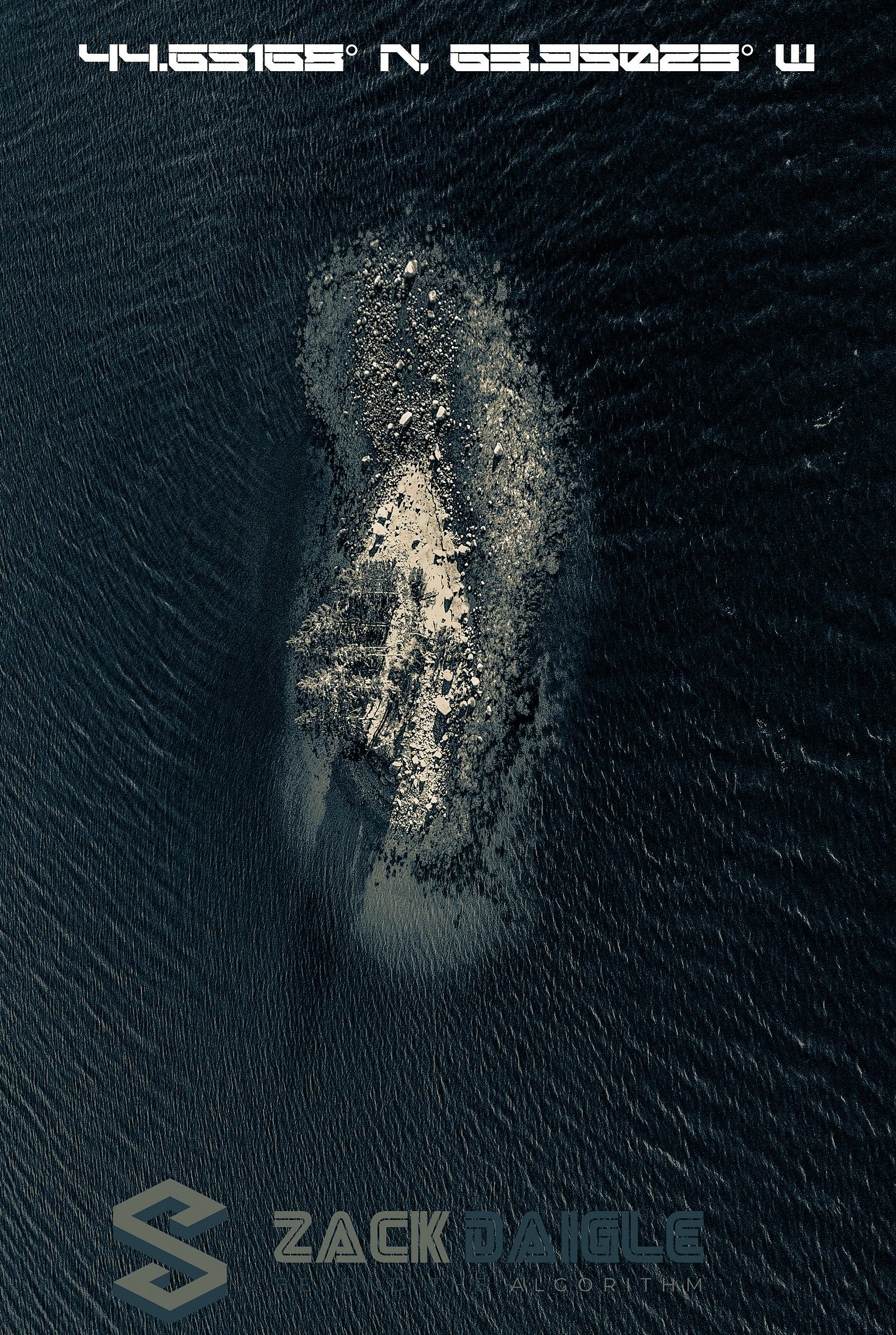
Boutiliers Point is a rural community in the Halifax Regional Municipality on the shore of the Atlantic Ocean on Trunk 3, 27.61
kilometers from Halifax.
44.66534° N, 63.95030° W
The Bay used a sawdust base to create a place for families to come skate. In 1954, the rink found it permanent home where for the past near 70 years dedicated.

44.65168° N, 63.95023° W
St. Margarets Bay Islands Nature Reserve protects eleven islands in St. Margarets Bay and a two-hectare. Potato Island.

44°39'36.6"N 63°56'33.2"W
This cow skull, adorned with moss and weathered by time, is more than just a remnant of a once-living creature. It stands as a symbol of nature's relentless abi

44.66550° N, 63.95443° W
Boutiliers point elementary school 1994 to 1995 Nova Scotia.
